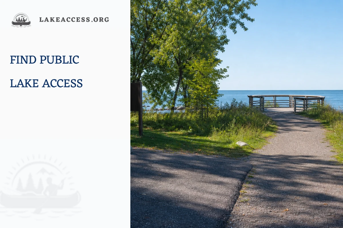
Quick answer: Find Great Lakes public access through a state, provincial, park, municipal, or federal directory, then verify the exact use allowed at that site. Public water does not make every shoreline, dock, parking area, launch, or adjacent property open for every activity.
Public access is not one permission
A directory entry may identify a public place while still limiting what visitors can do there. Confirm the site manager, intended activity, hours, parking, accessibility, closure status, and boundary before travel.
| Access type | What it may provide | What still needs checking |
|---|---|---|
| Beach or shoreline park | A designated place to reach the water or shore. | Swimming rules, closure status, hours, and managed boundaries. |
| Boat launch | A facility for launching where permitted. | Parking, launch condition, fees, vehicle rules, and weather limits. |
| Fishing access | A designated bank, pier, or public water entry point. | License, local fishing rules, boundaries, and shared-use restrictions. |
| Viewing trail or deck | A lawful way to experience the shoreline without entering water. | Accessibility, seasonal closure, pets, parking, and route conditions. |
Start with the manager, not a map pin
A map can help identify a region, but it cannot reliably tell you who manages a site or what uses are allowed today. Begin with an official state, provincial, municipal, park, or federal directory and follow the manager to the exact location page.
This approach avoids the common mistake of treating a shoreline image, marina listing, or route-app label as proof of public access. A facility can be public for one purpose and restricted for another.
Separate access from activity
Reaching the shore, swimming, fishing, launching, parking, camping, and using a dock are different activities. A site may support one, several, or none on a particular day. The permitted use should be written by the agency or posted at the site.
Plan the activity first, then find a site designed for it. This is safer and more respectful than arriving at a shoreline and trying to interpret a boundary after gear has been unloaded.
Check current closures and seasonal rules
Hours, road conditions, parking, construction, high water, weather, beach management, and seasonal operations can change public access. An official directory is the starting point; a current alert or site notice is the final check before travel.
At arrival, posted instructions take priority. If a sign, ranger, lifeguard, or manager says an area is closed or limited, choose another lawful option rather than looking for an informal route around the restriction.
Respect private and shared shoreline
Public water does not automatically create a public route across private land, a residential dock, a marina, or an adjacent parking area. Boundaries can be complex, and a good access plan treats uncertainty as a reason to ask the manager, not to assume.
Keep vehicles, gear, pets, and groups within the site rules. That reduces conflict, protects the access that is genuinely public, and makes the next visitor safer as well.
Accessibility and family planning
A public-access search should include the needs of the actual group: distance from parking, surface type, restrooms, shade, stable viewing areas, supervision, and an easy exit. Do not assume an access icon on a map describes the experience for every visitor.
Contact the site manager when accessibility or a particular accommodation matters. A short direct question is more reliable than trying to infer capability from a photo, a review, or an outdated directory entry.
Build a lawful backup plan
The most resilient trip has a second official site, a shore-based alternative, and a clear reason to stop. A closure, full lot, changing weather, or unclear rule should not create pressure to use a private or unsuitable shoreline.
This guide intentionally favors a process over a list of pins. Managers can update the local facts; a thoughtful visitor can update the plan without treating access as an entitlement.
Keep the system scale and the site scale separate
How to Find Public Access on the Great Lakes can be explained at the scale of the entire Great Lakes basin, but a visitor experiences one beach, launch, trail, neighborhood, or observation point at a time. A basin-wide fact is useful background. It is not a substitute for the local manager who can say whether a facility is open, whether a warning applies, or whether a condition has changed since the last update.
That scale difference is a practical safeguard. It prevents an article from turning a broad science statement into a promise about an individual shoreline. Start with the regional explanation, then move deliberately to the official site-level information that matches the activity you actually plan to do.
Match the source to the question
Use a research agency or a scientific dataset for definitions, long-term context, and methods. Use a park, beach manager, harbor authority, health department, weather office, or posted sign for a same-day operational decision. Both can be authoritative, but they answer different questions and should not be used interchangeably.
When a source is silent about the exact place, do not fill the gap with a confident guess. Look for the agency that manages the water, facility, or boundary in question. If the answer still is not clear, select a conservative alternative instead of treating an old article or a social post as the final authority.
Read the date, scope, and definition
A number, chart, or safety explanation is only as useful as its date and scope. Check whether a source describes a long-term average, a recent observation, a forecast, a single station, a lake-wide condition, or a particular managed site. These labels are not footnotes; they determine what the information can support.
Save the source URL and the date you checked it when the decision matters. That small habit makes it easier to revisit a plan, explain a change to a companion, and avoid passing along a detached statistic that no longer has the context needed to use it responsibly.
Do not confuse information with permission
Learning about a lake does not create permission to enter a closed beach, use a private dock, launch at an unsuitable ramp, fish a restricted area, or cross a boundary. Access and activity rules come from the manager and the posted conditions at the location, not from the fact that a map or an article identifies nearby water.
Build the plan around lawful, maintained facilities and clear directions. If a route, lot, shoreline, or water use is uncertain, pause and verify it through the agency. A public-water label alone is not enough to answer questions about the land, parking, structures, or uses around it.
Use a clear stop rule
A good plan names the conditions that will end or change the activity before anyone leaves home. A closure, changing weather, unsafe waves, unavailable access, unclear rule, equipment problem, or group concern can all be a valid reason to stop. The point is not to make every visit complicated; it is to remove pressure to force a plan through uncertainty.
Choose the backup before the primary option becomes difficult. A different official access site, a shore-based activity, a museum or visitor center, or a return on another day can preserve the value of a trip without asking people to ignore information that says the original plan is no longer suitable.
Share uncertainty honestly
Reliable Great Lakes information often includes a range, a forecast window, a local variation, or an instruction to check again. That is not a weakness. It reflects a living system in which weather, water, facilities, and management conditions can change. Treating uncertainty honestly is more useful than writing a brittle rule that sounds decisive but ages badly.
When explaining How to Find Public Access on the Great Lakes, say what the source establishes and what it does not establish. Readers can then use the article to ask better questions instead of mistaking it for a real-time dashboard, a permit, a local advisory, or professional safety instruction.
Plan for the least experienced person
Groups are not defined by their most confident member. Consider the comfort, mobility, swimming ability, boating experience, weather tolerance, and communication needs of the person who has the smallest margin. A short, simple, confirmed activity is often a stronger choice than a more ambitious plan built on uncertain conditions.
Give everyone a way to opt out without having to justify it. That can mean keeping dry clothing, water, time, a quiet shore option, and a ride home available. Good preparation is not a test of toughness; it is a way to make an informed decision easier to change.
Recheck after a material change
Refresh the relevant official page when the weather changes, a new notice appears, the trip moves to another lake, or the time between planning and arrival becomes meaningful. The more specific the question, the more important it is that the source be current and tied to the exact site.
A fresh check takes less time than recovering from a bad assumption. It also keeps LakeAccess content in its proper role: an evergreen guide to the decision process, supported by sources that can update the facts that cannot safely be frozen into an article.
Leave the next visitor a better situation
Use established paths, follow waste and wildlife rules, give other users room, and leave ramps, beaches, docks, and viewing areas ready for the next group. These actions protect both the resource and the public access that makes a Great Lakes visit possible. They also reduce the chance that a personal trip creates a new hazard for someone else.
Share the official source you used with companions rather than a cropped screenshot or a remembered rule. That makes the plan auditable, helps the whole group notice updates, and encourages the same source-first habits on the next visit.
Measure the decision, not the ambition
A useful plan is not the one with the most stops, the longest route, or the most equipment. It is the one that keeps the decision understandable for the group: where the information came from, what condition would change the plan, where the lawful boundary is, and how everyone will leave without rushing. Clear limits are a strength, not a smaller version of the trip.
Write down only the facts that matter to the decision. A source name, date, manager contact, weather or access check, and backup choice are more valuable than a long collection of unsupported details. This approach keeps the plan flexible when an official page, a posted instruction, or the conditions at the site require a change.
Ask directly when the public source is incomplete
Public directories and dashboards cannot answer every site-specific question. When a condition, boundary, accessibility need, or operational rule is unclear, contact the managing agency through its published channel before making a long trip. Phrase the question around the exact site and intended activity so the response is useful and does not ask staff to interpret a vague map pin.
If you cannot obtain a clear answer in time, choose the conservative option. This is especially important when the plan depends on a facility, an access point, a weather margin, or a group member who would have difficulty adapting after arrival. Good information can narrow uncertainty; it cannot make uncertainty disappear.
Make the final check close to departure
Review the manager page, weather information, and the group plan once more close to departure. That last check catches changes that a well-researched article cannot anticipate and gives everyone the same current information before the trip begins.
Plan the route and the return
Public access begins before the shoreline. Confirm the route, parking arrangement, walking surface, hours, and the distance back to the vehicle or transit stop. A location can be lawful yet still be a poor match for the group when the route is exposed to changing weather, the return is long, or the facility cannot support the equipment and mobility needs involved.
Leave with enough time to depart before darkness, fatigue, weather, or a closing hour turns a straightforward visit into a rushed one. At the site, keep the access corridor clear for other users and follow the manager instructions for loading, unloading, and waste. The same public space may be serving walkers, swimmers, anglers, boaters, and nearby residents.
Use local knowledge without outsourcing judgment
A visitor center, ranger desk, park office, or municipal information line can clarify a public-access plan when it is used alongside the official directory and posted rules. Ask about current closures, the intended activity, and the best place to confirm a change on the day. Do not ask staff to guarantee conditions that depend on weather, water, or individual readiness.
Local information is most useful when it helps the group choose responsibly. Keep the final decision tied to the live notice, the site condition, and the abilities of the people present. That protects both the visitor and the access resource, even when the most convenient option is no longer the right one.
A source-first checklist
Use this article as a planning explanation, not as a substitute for a live agency page, posted notice, local closure, forecast, or site instruction. Conditions, access, water levels, beach flags, and regulations can change after publication. A cautious plan leaves room to pause, select a lawful alternative, or return another day.
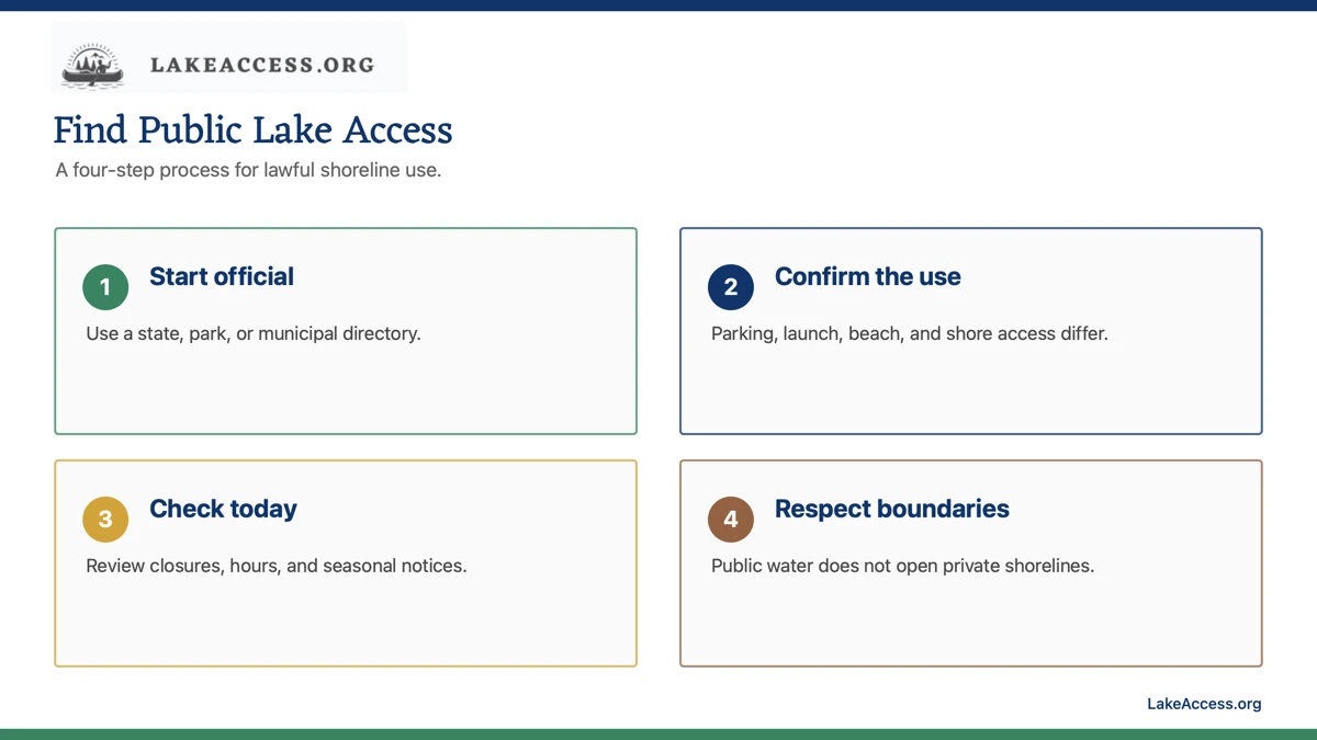
- Use a government, park, or municipal directory to identify the manager.
- Confirm that the exact activity is allowed at the site.
- Review hours, parking, fees, closures, and seasonal notices.
- Respect boundaries and choose a lawful backup when details are unclear.
Related LakeAccess guides
- How to find public lake access near you
- Shore fishing setup for lakes
- Boat ramp checklist for first-time boaters
- Lake camping reservation guide
Sources
- National Park Service Great Lakes resources (checked July 12, 2026).
- Michigan state parks (checked July 12, 2026).
- Wisconsin state parks (checked July 12, 2026).
- New York state parks (checked July 12, 2026).
- Ohio Department of Natural Resources (checked July 12, 2026).