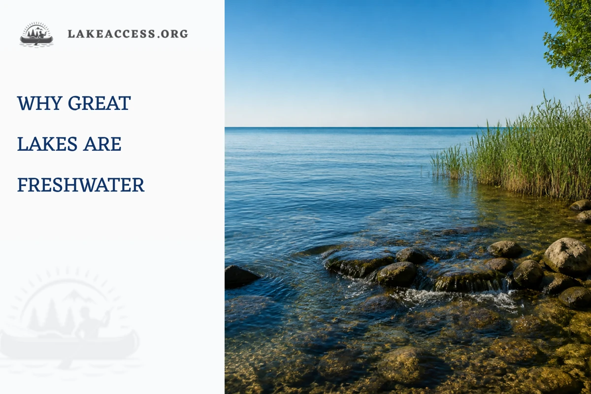
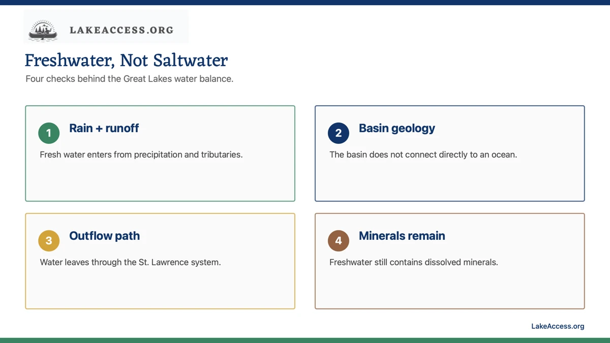
Quick answer: The Great Lakes are freshwater because their basin receives precipitation, runoff, groundwater, and tributary inflow rather than a direct ocean connection. Water leaves primarily through the St. Lawrence system, and the lakes contain dissolved minerals without having the salinity of seawater.
Freshwater versus saltwater: the useful distinction
The comparison is about dissolved salts and the way water moves through a basin. It is not a claim that Great Lakes water is chemically identical everywhere or that a shoreline condition can be judged by appearance alone.
| Question | Great Lakes context | What to verify |
|---|---|---|
| Where water comes from | Precipitation, tributaries, runoff, and groundwater feed the basin. | Current watershed or agency information for a local question. |
| Where water goes | The connected lakes drain outward through the St. Lawrence system. | Official hydrology sources when a route or flow question matters. |
| What freshwater means | Freshwater has much lower dissolved-salt content than seawater. | Do not treat freshwater as a drinking-water or swimming-safety guarantee. |
| Why conditions differ | Weather, tributaries, biology, and local land use can affect a place. | Local advisories, beach notices, and water-quality information. |
The basin is not an ocean inlet
The Great Lakes occupy a large connected drainage basin, but they are not an arm of the ocean. Their water balance is driven by precipitation, tributary inflow, runoff, evaporation, groundwater exchange, and the outlet system. That geography is the starting point for understanding why the lakes are classified as freshwater.
A large horizon, waves, or commercial shipping can make a lake feel sea-like without changing its basic hydrology. Size is not the definition. The useful question is whether the water body is connected to and mixed with an ocean system in a way that produces marine salinity.
Freshwater is not the same as pure water
Freshwater contains naturally dissolved minerals and can also carry material from its watershed. The phrase freshwater distinguishes the lakes from saltwater systems; it does not mean every sample has the same chemistry, clarity, taste, or suitability for recreation.
That distinction prevents a common shortcut. A visitor should not use the word freshwater as a health assessment. Local conditions, advisories, weather, blooms, contamination notices, and site rules remain separate checks.
Inputs and outflow work together
Rain and snow fall on the lakes and their drainage basin. Rivers and streams add water, while evaporation and outlet flow remove it. Over time, those connected processes shape the amount and movement of water in the system.
The balance changes across seasons and years. A short-term visual observation cannot explain a basin-wide trend, and a basin-wide explanation cannot replace an official local notice. Use the appropriate scale for the question you are trying to answer.
Why the saltwater comparison persists
The lakes are so large that people often compare them with inland seas. That comparison can be useful for discussing waves, weather, navigation, and scale, but it becomes misleading when it implies ocean salinity or ocean access rules.
A good explanation keeps the analogy limited. Great Lakes conditions can still be serious for boaters and swimmers, yet the science behind freshwater, currents, beaches, and access should come from Great Lakes and local agencies rather than a generic ocean rule.
Use sources that match the decision
NOAA, EPA, USGS, and regional Great Lakes organizations explain the basin and its long-term water science. A local health department, park, beach manager, or weather office is more suitable for a question about a particular day, beach, or access point.
That source matching matters because a high-quality general explanation can still be the wrong tool for a same-day safety decision. Read posted instructions at the site and update the plan when a current source conflicts with an older article.
A careful conclusion
The Great Lakes are freshwater systems with real dissolved minerals, changing local conditions, and a hydrologic connection among lakes and the St. Lawrence outlet. The answer is simple at the system level but should not be stretched into a claim about drinking, swimming, fishing, or navigation conditions.
For a trip, move from the broad explanation to the live local source. For a science question, follow the official basin resources. That order keeps a useful fact from becoming false certainty.
Keep the system scale and the site scale separate
Why Are the Great Lakes Freshwater? can be explained at the scale of the entire Great Lakes basin, but a visitor experiences one beach, launch, trail, neighborhood, or observation point at a time. A basin-wide fact is useful background. It is not a substitute for the local manager who can say whether a facility is open, whether a warning applies, or whether a condition has changed since the last update.
That scale difference is a practical safeguard. It prevents an article from turning a broad science statement into a promise about an individual shoreline. Start with the regional explanation, then move deliberately to the official site-level information that matches the activity you actually plan to do.
Match the source to the question
Use a research agency or a scientific dataset for definitions, long-term context, and methods. Use a park, beach manager, harbor authority, health department, weather office, or posted sign for a same-day operational decision. Both can be authoritative, but they answer different questions and should not be used interchangeably.
When a source is silent about the exact place, do not fill the gap with a confident guess. Look for the agency that manages the water, facility, or boundary in question. If the answer still is not clear, select a conservative alternative instead of treating an old article or a social post as the final authority.
Read the date, scope, and definition
A number, chart, or safety explanation is only as useful as its date and scope. Check whether a source describes a long-term average, a recent observation, a forecast, a single station, a lake-wide condition, or a particular managed site. These labels are not footnotes; they determine what the information can support.
Save the source URL and the date you checked it when the decision matters. That small habit makes it easier to revisit a plan, explain a change to a companion, and avoid passing along a detached statistic that no longer has the context needed to use it responsibly.
Do not confuse information with permission
Learning about a lake does not create permission to enter a closed beach, use a private dock, launch at an unsuitable ramp, fish a restricted area, or cross a boundary. Access and activity rules come from the manager and the posted conditions at the location, not from the fact that a map or an article identifies nearby water.
Build the plan around lawful, maintained facilities and clear directions. If a route, lot, shoreline, or water use is uncertain, pause and verify it through the agency. A public-water label alone is not enough to answer questions about the land, parking, structures, or uses around it.
Use a clear stop rule
A good plan names the conditions that will end or change the activity before anyone leaves home. A closure, changing weather, unsafe waves, unavailable access, unclear rule, equipment problem, or group concern can all be a valid reason to stop. The point is not to make every visit complicated; it is to remove pressure to force a plan through uncertainty.
Choose the backup before the primary option becomes difficult. A different official access site, a shore-based activity, a museum or visitor center, or a return on another day can preserve the value of a trip without asking people to ignore information that says the original plan is no longer suitable.
Share uncertainty honestly
Reliable Great Lakes information often includes a range, a forecast window, a local variation, or an instruction to check again. That is not a weakness. It reflects a living system in which weather, water, facilities, and management conditions can change. Treating uncertainty honestly is more useful than writing a brittle rule that sounds decisive but ages badly.
When explaining Why Are the Great Lakes Freshwater?, say what the source establishes and what it does not establish. Readers can then use the article to ask better questions instead of mistaking it for a real-time dashboard, a permit, a local advisory, or professional safety instruction.
Plan for the least experienced person
Groups are not defined by their most confident member. Consider the comfort, mobility, swimming ability, boating experience, weather tolerance, and communication needs of the person who has the smallest margin. A short, simple, confirmed activity is often a stronger choice than a more ambitious plan built on uncertain conditions.
Give everyone a way to opt out without having to justify it. That can mean keeping dry clothing, water, time, a quiet shore option, and a ride home available. Good preparation is not a test of toughness; it is a way to make an informed decision easier to change.
Recheck after a material change
Refresh the relevant official page when the weather changes, a new notice appears, the trip moves to another lake, or the time between planning and arrival becomes meaningful. The more specific the question, the more important it is that the source be current and tied to the exact site.
A fresh check takes less time than recovering from a bad assumption. It also keeps LakeAccess content in its proper role: an evergreen guide to the decision process, supported by sources that can update the facts that cannot safely be frozen into an article.
Leave the next visitor a better situation
Use established paths, follow waste and wildlife rules, give other users room, and leave ramps, beaches, docks, and viewing areas ready for the next group. These actions protect both the resource and the public access that makes a Great Lakes visit possible. They also reduce the chance that a personal trip creates a new hazard for someone else.
Share the official source you used with companions rather than a cropped screenshot or a remembered rule. That makes the plan auditable, helps the whole group notice updates, and encourages the same source-first habits on the next visit.
Measure the decision, not the ambition
A useful plan is not the one with the most stops, the longest route, or the most equipment. It is the one that keeps the decision understandable for the group: where the information came from, what condition would change the plan, where the lawful boundary is, and how everyone will leave without rushing. Clear limits are a strength, not a smaller version of the trip.
Write down only the facts that matter to the decision. A source name, date, manager contact, weather or access check, and backup choice are more valuable than a long collection of unsupported details. This approach keeps the plan flexible when an official page, a posted instruction, or the conditions at the site require a change.
Ask directly when the public source is incomplete
Public directories and dashboards cannot answer every site-specific question. When a condition, boundary, accessibility need, or operational rule is unclear, contact the managing agency through its published channel before making a long trip. Phrase the question around the exact site and intended activity so the response is useful and does not ask staff to interpret a vague map pin.
If you cannot obtain a clear answer in time, choose the conservative option. This is especially important when the plan depends on a facility, an access point, a weather margin, or a group member who would have difficulty adapting after arrival. Good information can narrow uncertainty; it cannot make uncertainty disappear.
Make the final check close to departure
Review the manager page, weather information, and the group plan once more close to departure. That last check catches changes that a well-researched article cannot anticipate and gives everyone the same current information before the trip begins.
A source-first checklist
Use this article as a planning explanation, not as a substitute for a live agency page, posted notice, local closure, forecast, or site instruction. Conditions, access, water levels, beach flags, and regulations can change after publication. A cautious plan leaves room to pause, select a lawful alternative, or return another day.
- Use NOAA, EPA, USGS, or a regional Great Lakes authority for basin science.
- Use local agencies for a beach, drinking-water, or advisory question.
- Do not confuse freshwater with pure water or safe conditions.
- Treat a current closure or posted rule as the decision-maker at the site.
Related LakeAccess guides
- Is Lake Michigan salt water?
- Is Lake Erie salt water?
- How were the Great Lakes formed?
- What lake-water color can and cannot tell you
Sources
- NOAA Great Lakes Environmental Research Laboratory (checked July 12, 2026).
- EPA physical features of the Great Lakes (checked July 12, 2026).
- NOAA Great Lakes freshwater overview (checked July 12, 2026).
- Great Lakes Commission (checked July 12, 2026).
- NOAA Great Lakes coastal facts (checked July 12, 2026).